Photogrammetry software given go ahead for use in industry
27 July 2022
The viDoc - a tool for terrestrial site scans to create 3D models and make single-point measurements - has received official recognition that it is accurate enough to be used within the industry.
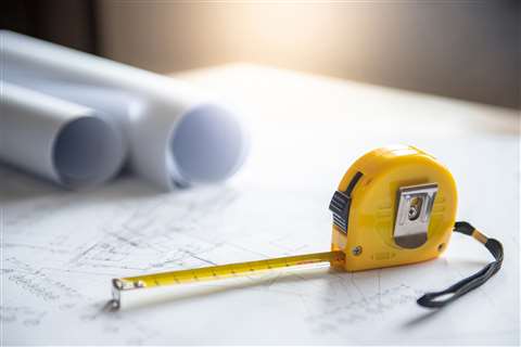
 viDoc means that technology will play a part in measuring (Photo: Adobe Stock)
The viDoc is a handheld case with an RTK antenna that connects to mobile devices. The company says that when paired with the app PIX4Dcatch, viDoc enables users to gather geotagged LiDAR and photogrammetry data for use in creating 3D models or single point measurements.
The datasets can then be processed in Pix4D software either online (via PIX4Dcloud) or on desktops (PIX4Dmapper, PIX4Dmatic, PIX4Dsurvey).
The Bureau Veritas, a company that specialises in testing, inspecting, and certification (TIC), found the viDoc to have a margin of error of less than 5cm, which is half the required accuracy for Class A measurements. Class A measurements are said to require at least 10cm accuracy, which the company says means the viDoc is well within expected limits.
“We are proud to have received this certification for the viDoc, which affirms our belief in the viDoc being a game-changing tool. Its use in construction, public works, and surveying will continue to grow and see benefits due to a global push to accurately geolocate all utilities,” says Ryan Sweeney, product Manager for viDoc.
STAY CONNECTED


Receive the information you need when you need it through our world-leading magazines, newsletters and daily briefings.
CONNECT WITH THE TEAM


